
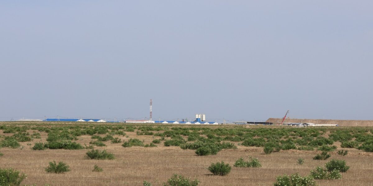
On May 7-8, 2026, researchers of the Institute of Botany of the Academy of Sciences of the Republic of Uzbekistan conducted field studies on the vegetation cover of terrestrial and aquatic ecosystems in the area planned for SMR construction in Forish District, Jizzakh Region.
The studies were conducted within the framework of Economic Contract No. 18/2026 on “Monitoring studies of the vegetation cover of terrestrial and aquatic ecosystems in the area designated for the location of the SMR”. The contract was concluded between the Institute of Botany of the Academy of Sciences of the Republic of Uzbekistan and LLC “O‘ZGASHKLITI”. Within the scope of this agreement, comprehensive monitoring studies are envisaged to investigate the plant diversity and vegetation cover of terrestrial and aquatic ecosystems in the area proposed for the placement of the SMR in Forish District, Jizzakh Region.
The field research involved staff members of the Institute of Botany: B.A. Adilov, N.Y. Beshko, and F.I. Polvonov. During the field trip, specialists conducted descriptions of the current state of vegetation cover at 12 main representative ecosystem plots and one background control plot within the study area. These observations covered the principal ecosystems located within a 15-kilometer zone.
During the research, natural landscapes, plant communities, riparian vegetation, and macrophytes characteristic of aquatic ecosystems were studied. Special attention was paid to recording the distribution of plant species occurring in water bodies and adjacent areas, assessing their ecological condition, and documenting changes in the composition of the vegetation cover.
In the course of the fieldwork, geobotanical survey forms were completed at each observation point, and photographic documentation of the main landscapes and plant communities was carried out. In addition, visual observations of riparian vegetation and aquatic ecosystems were conducted, GPS coordinates of the observation points were determined, and relevant data were entered into the field diary.
As a result of the field expedition, a total of 26 geobotanical descriptions were compiled. During the research, 650 photographs were taken, with a total volume of photographic materials amounting to 5 GB. The field team covered a total distance of 347 kilometers across Forish District, Jizzakh Region.
It should be noted that these studies are of significant importance for the comprehensive assessment of the vegetation cover of terrestrial and aquatic ecosystems in the area proposed for the placement of the SMR, for documenting existing plant communities, and for forming the primary scientific database required for subsequent stages of monitoring.
The collected field materials will serve as an important source for further scientific analyses of the floristic composition of the area, the distribution of riparian and aquatic ecosystem plants, as well as the current ecological state of the ecosystems.
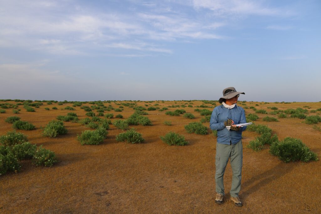
During the monitoring activities conducted in Forish District, Jizzakh Region, B.A. Adilov, Head of the Geobotany Laboratory, Doctor of Biological Sciences, Leading Researcher, described the vegetation cover of the main representative ecosystems and maintained field records.
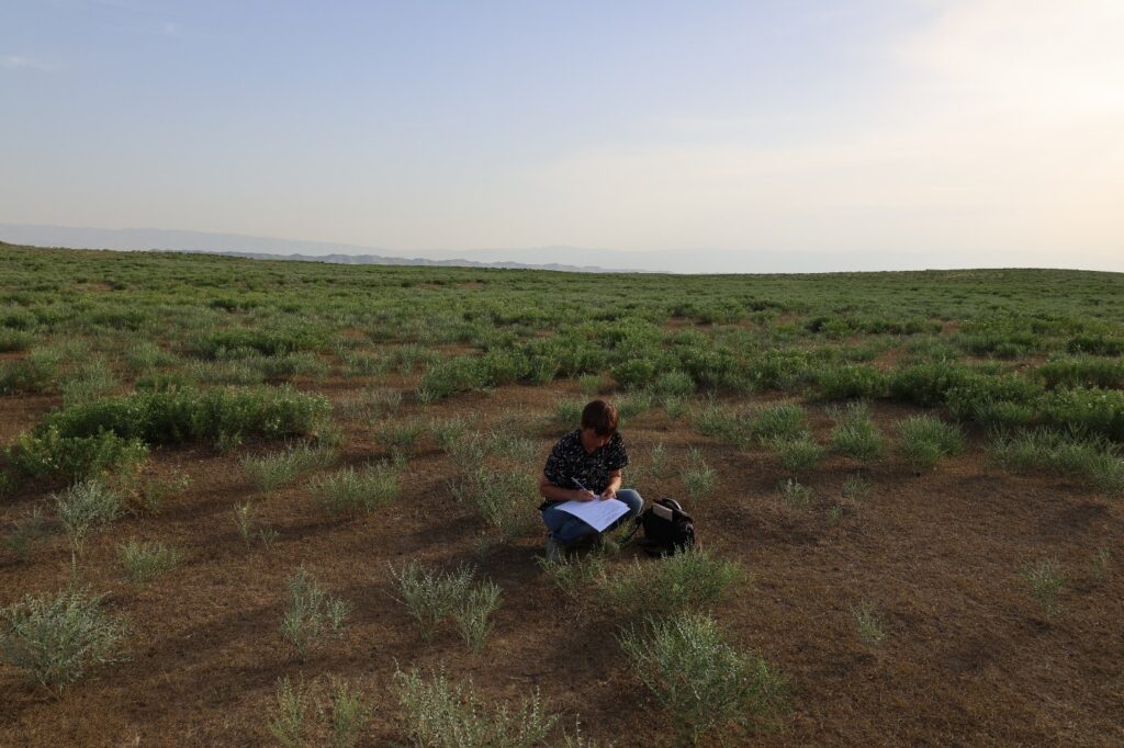
Senior Researcher of the Laboratory of Plant Conservation and Ecology, Candidate of Biological Sciences N.Y. Beshko, completed geobotanical records on the condition of the vegetation cover.
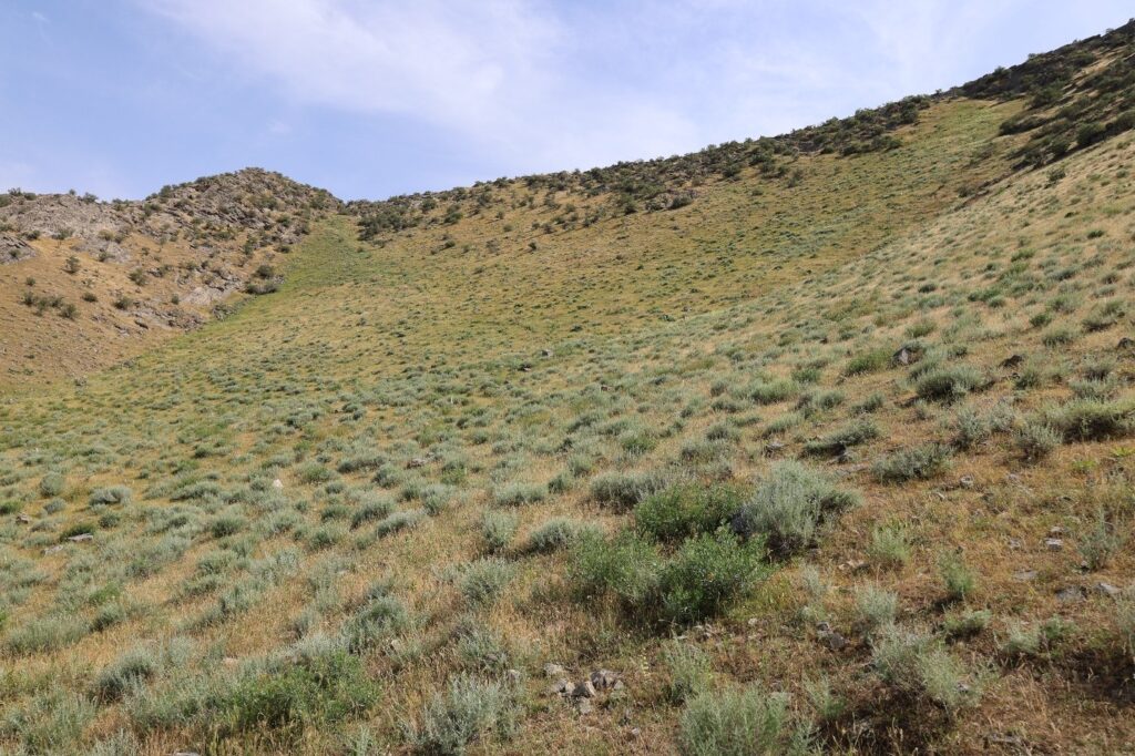
B-02 monitoring point. The condition of the vegetation cover of terrestrial ecosystems was studied in this area.
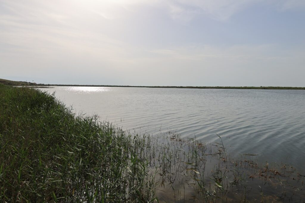
Lake Tuzkon — MC monitoring point. During the field studies, the condition of riparian vegetation around the lake and macrophytes characteristic of aquatic ecosystems was investigated.
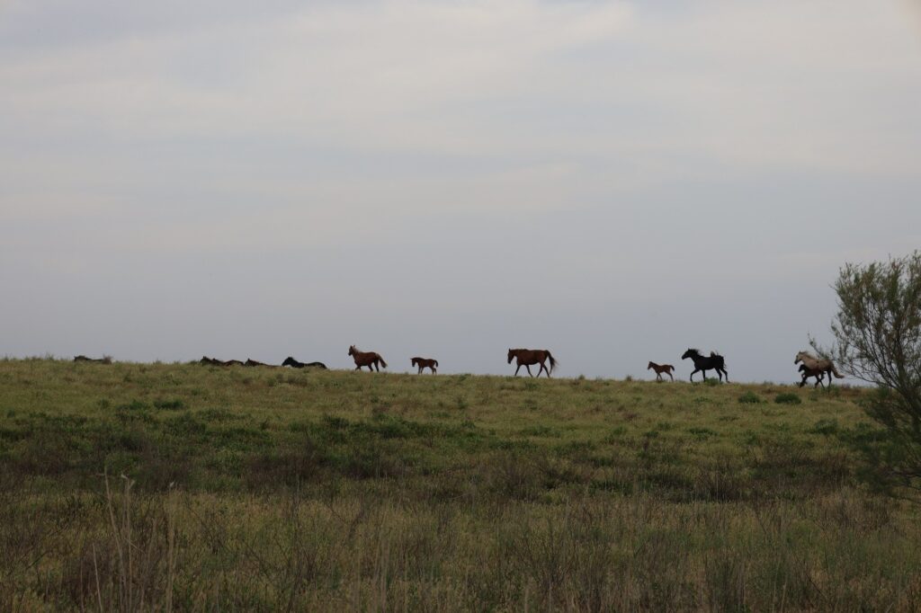
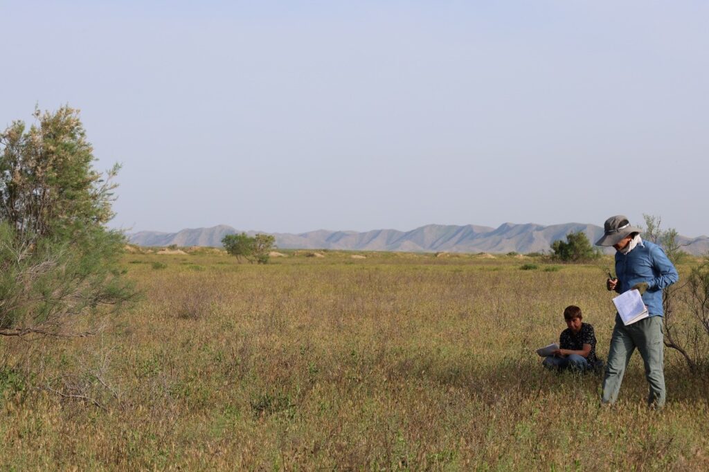
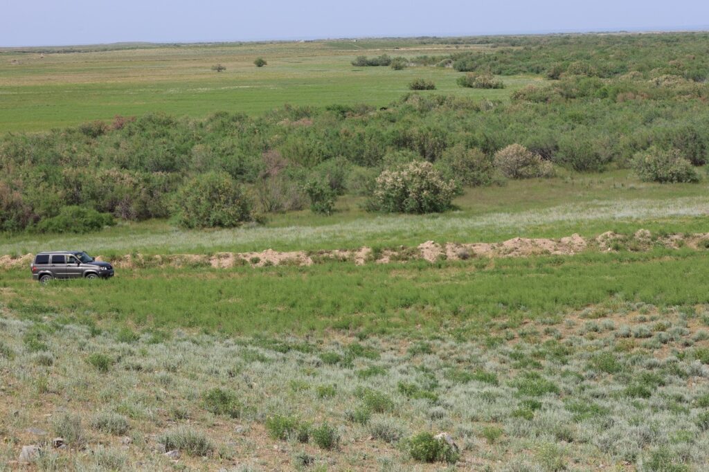
Researchers of the Institute of Botany during field studies in Forish District, Jizzakh Region. At the observation points, vegetation cover was described, GPS coordinates were recorded, and field records were documented.
This material was prepared by F.I. Polvonov, Junior Researcher of the Geobotany Laboratory.